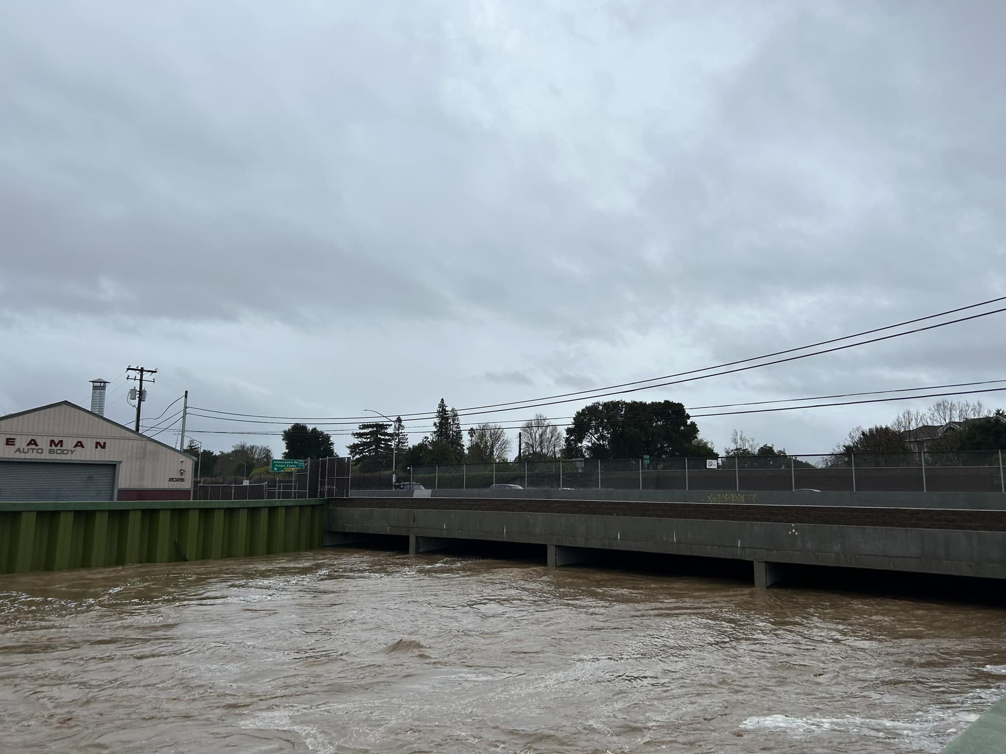
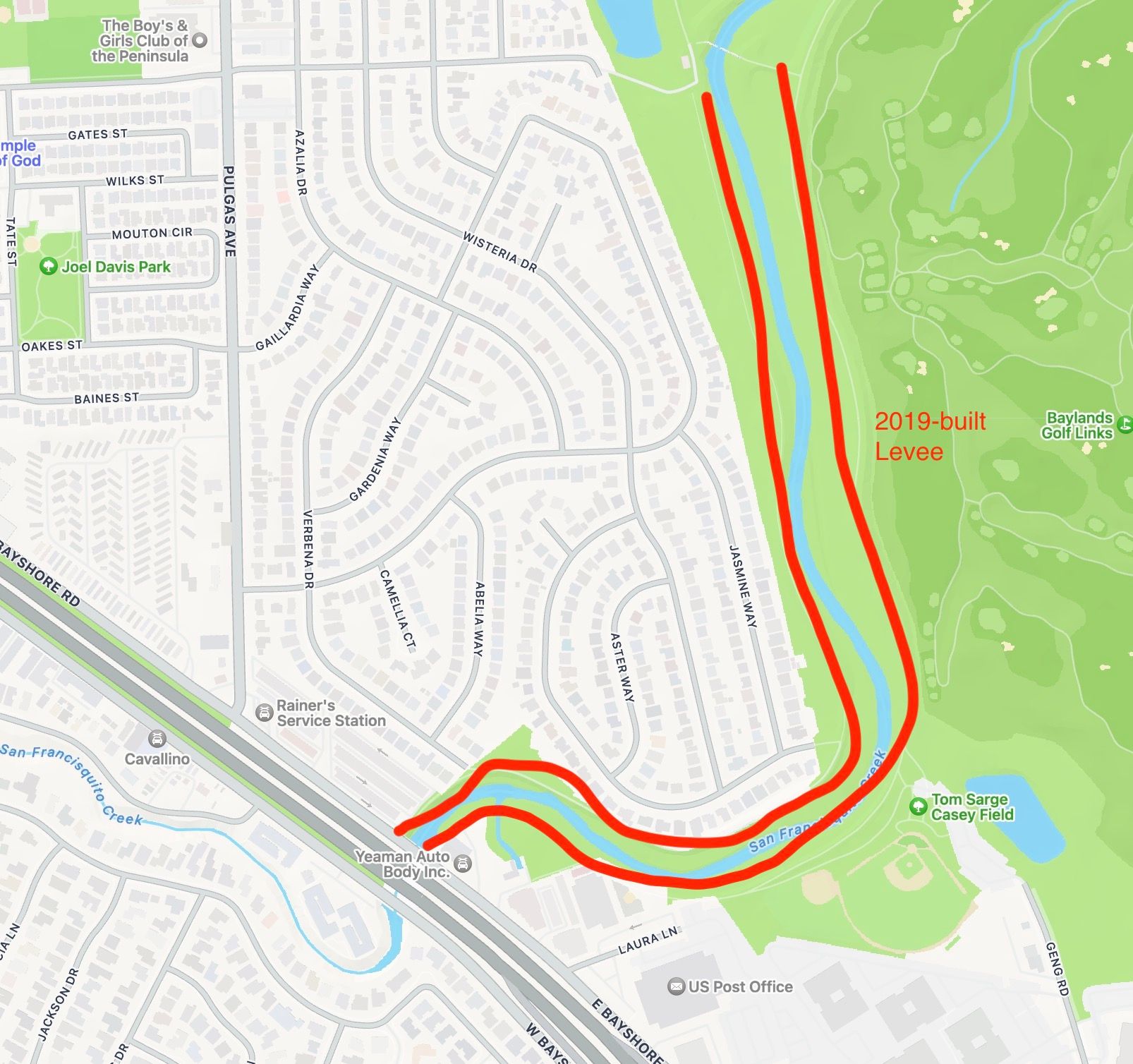
The San Francisquito Creek Reach 1 Levee has kept a large portion of East Palo Alto safe during the last 2 weeks of heavy rains.
We had some large storms these past 2 weeks, and there was a lot of flooding in the Bay Area. Parts of East Palo Alto also flooded, particularly at the segment of the San Francisquito Creek along Woodland Ave on the west side of Highway 101. What some people may not realize is that there was not as much, if any, flooding along the San Francisquito Creek levee Reach 1, built by the San Francisquito Creek Joint Powers Authority.
Tight fit under the 101 Bridge over the San Francisquito Creek on January 9th, 2023 at 9:50 am.
Posted by East Palo Alto Sun on Monday, January 9, 2023
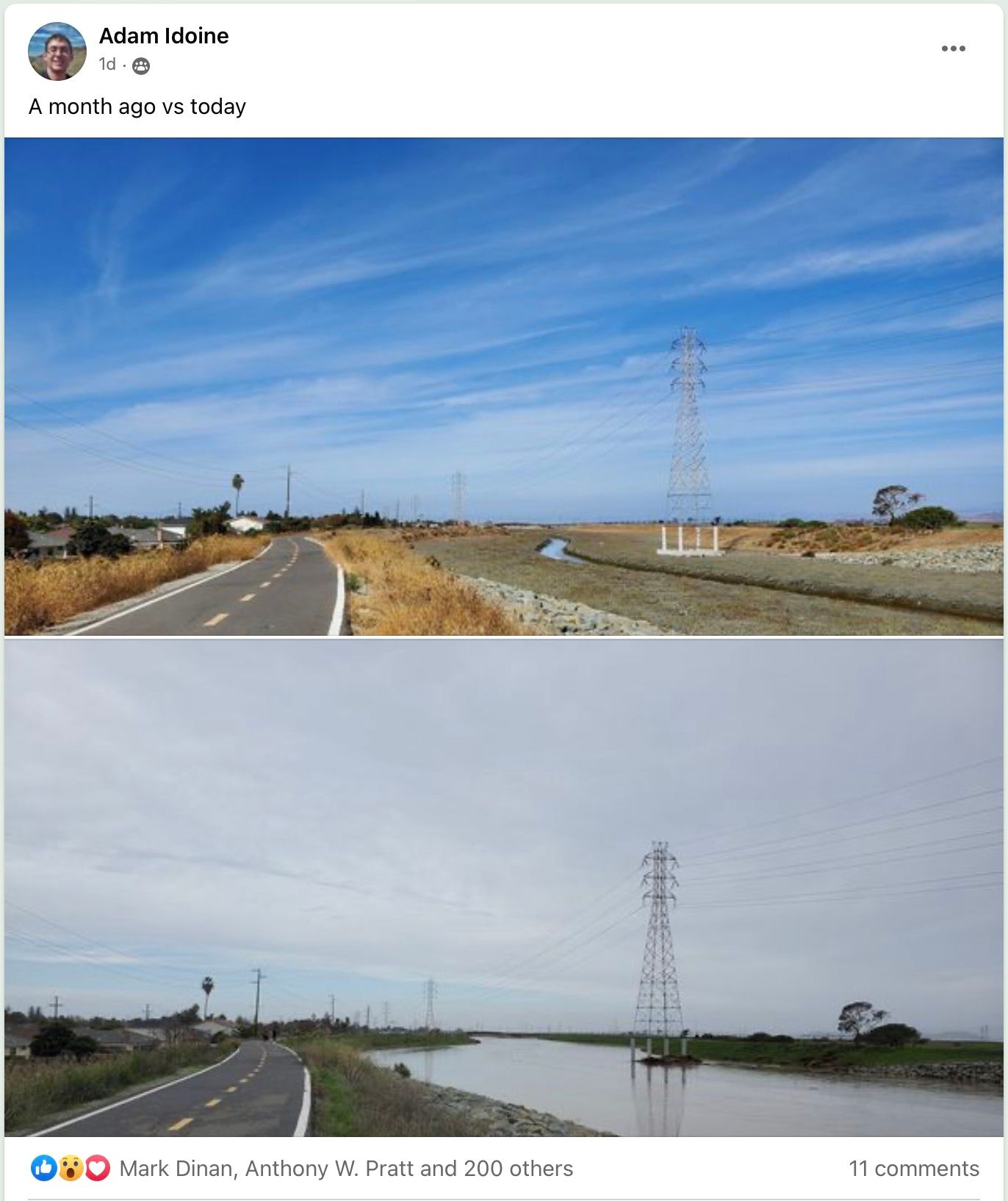
I went for a walk today after the rain had subsided and here are some photos.
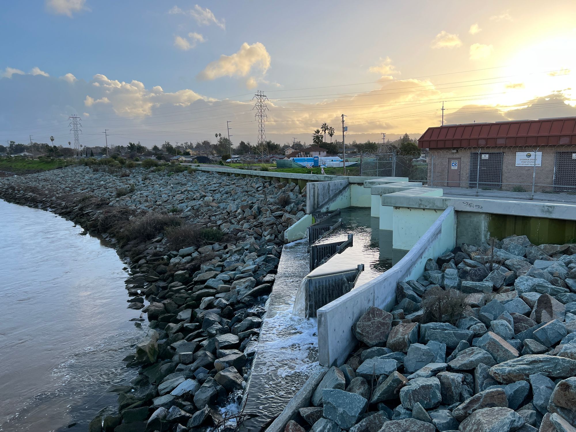
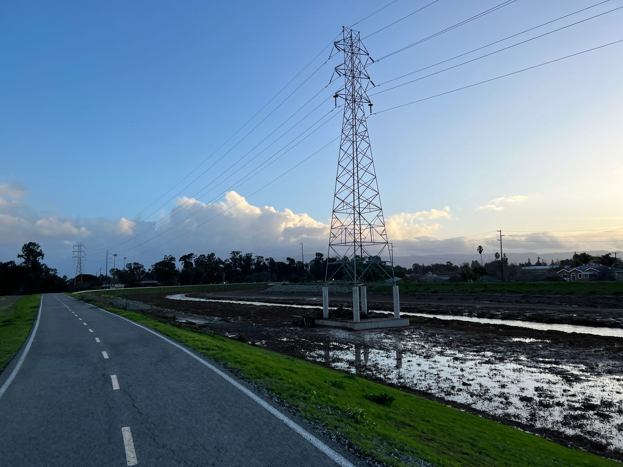
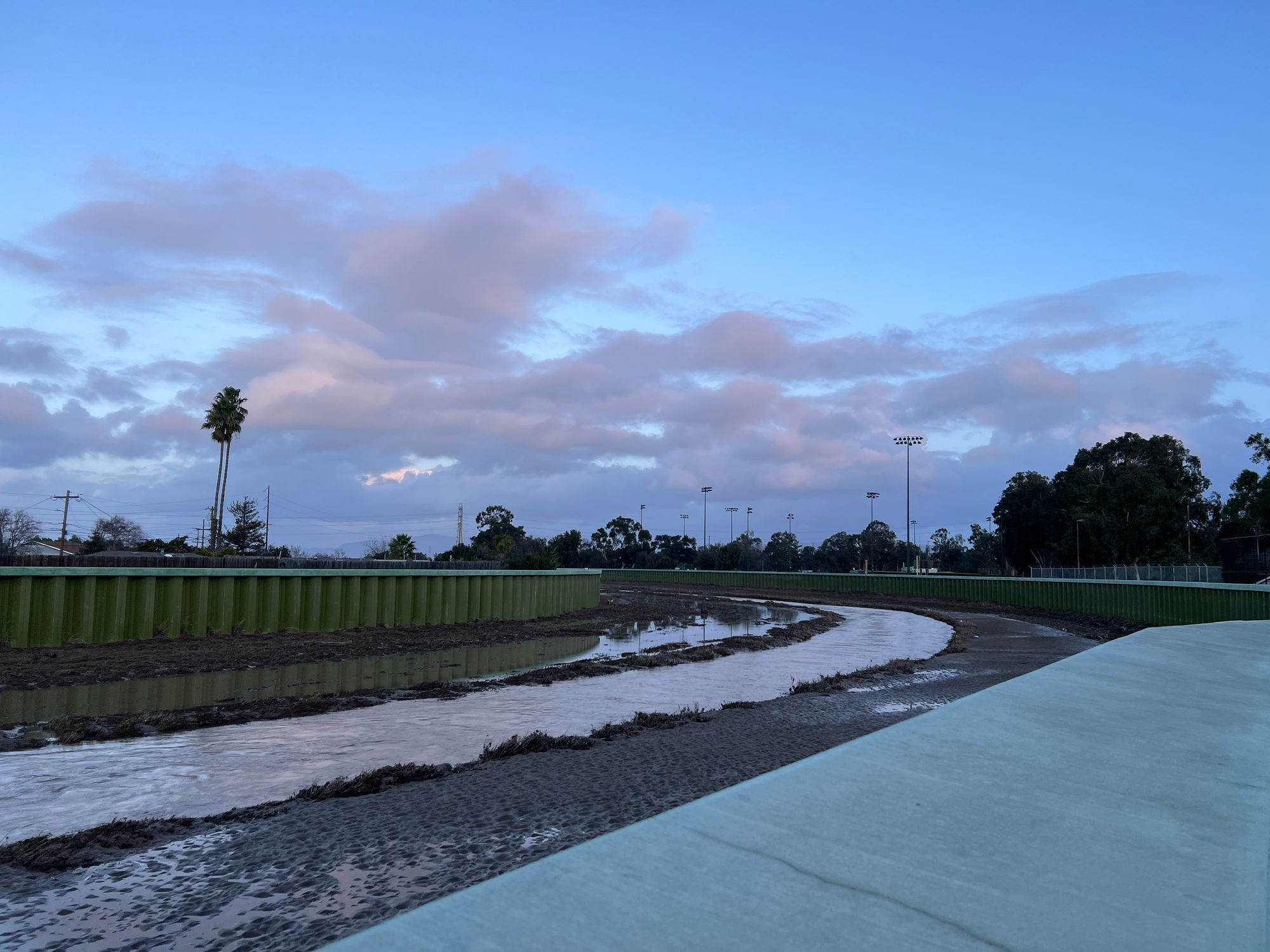
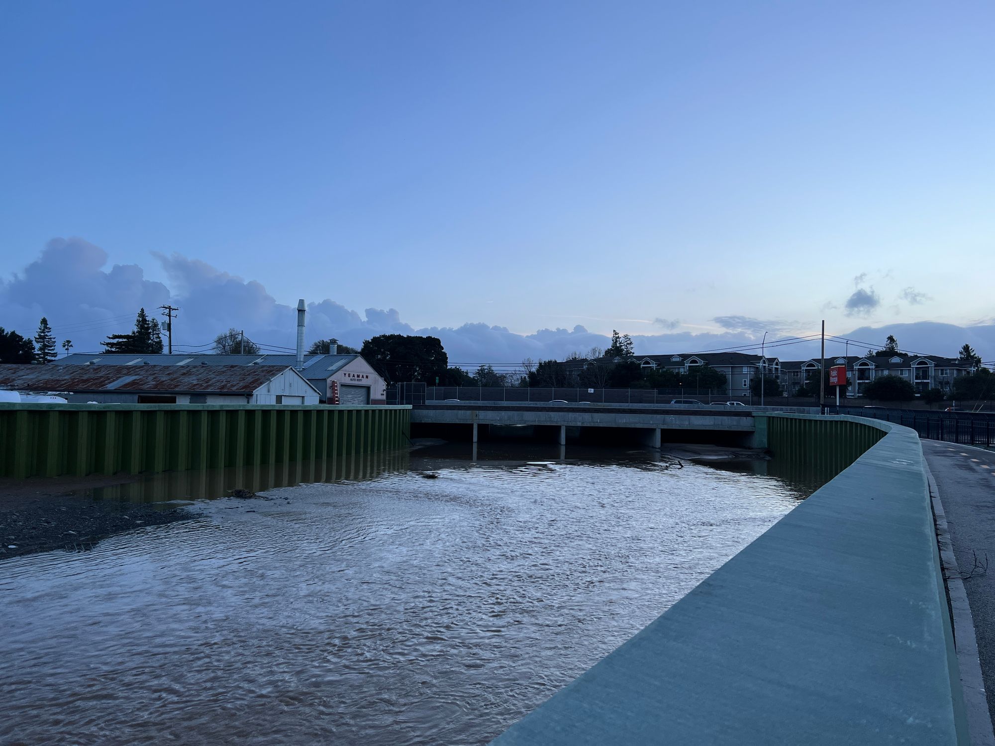
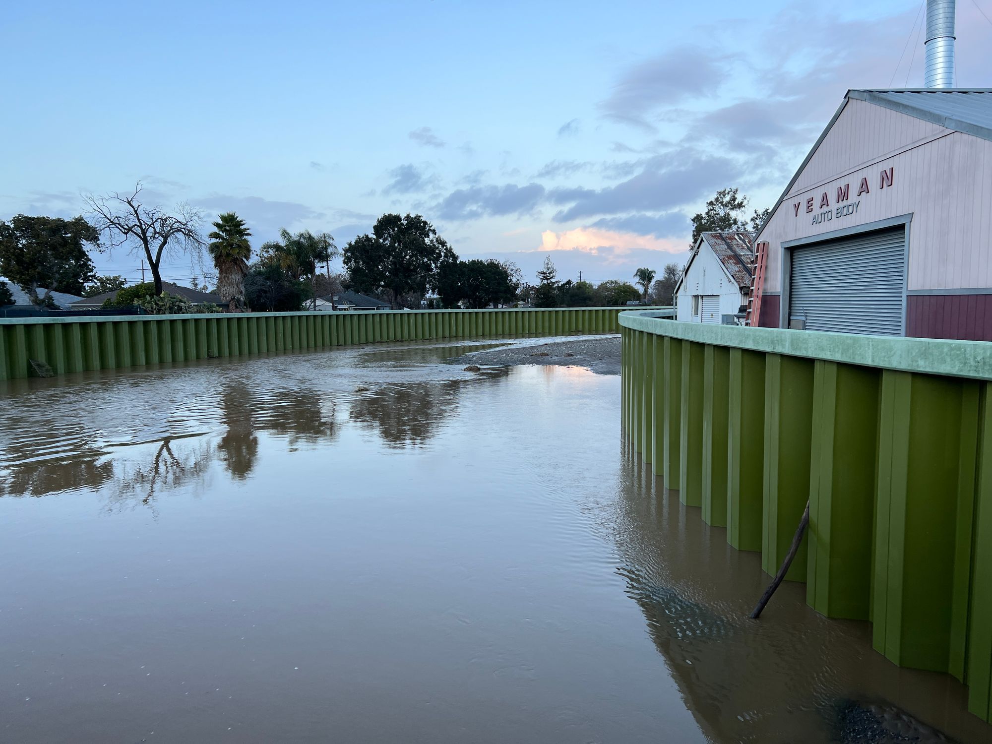
Note that I still observed some pools of water beyond the levee walls, though I think these were not from overflowing of the creek but from improper drainage which is a separate problem. Here are some photos.
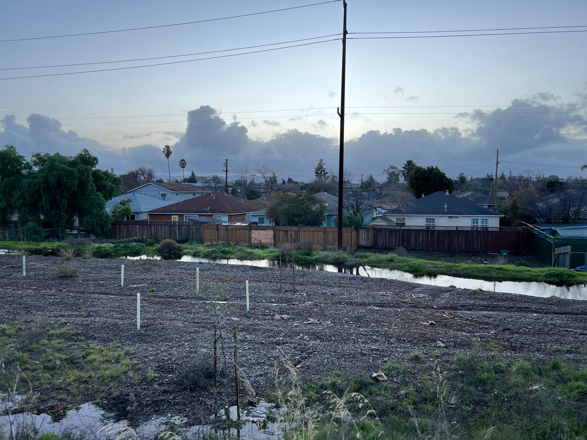
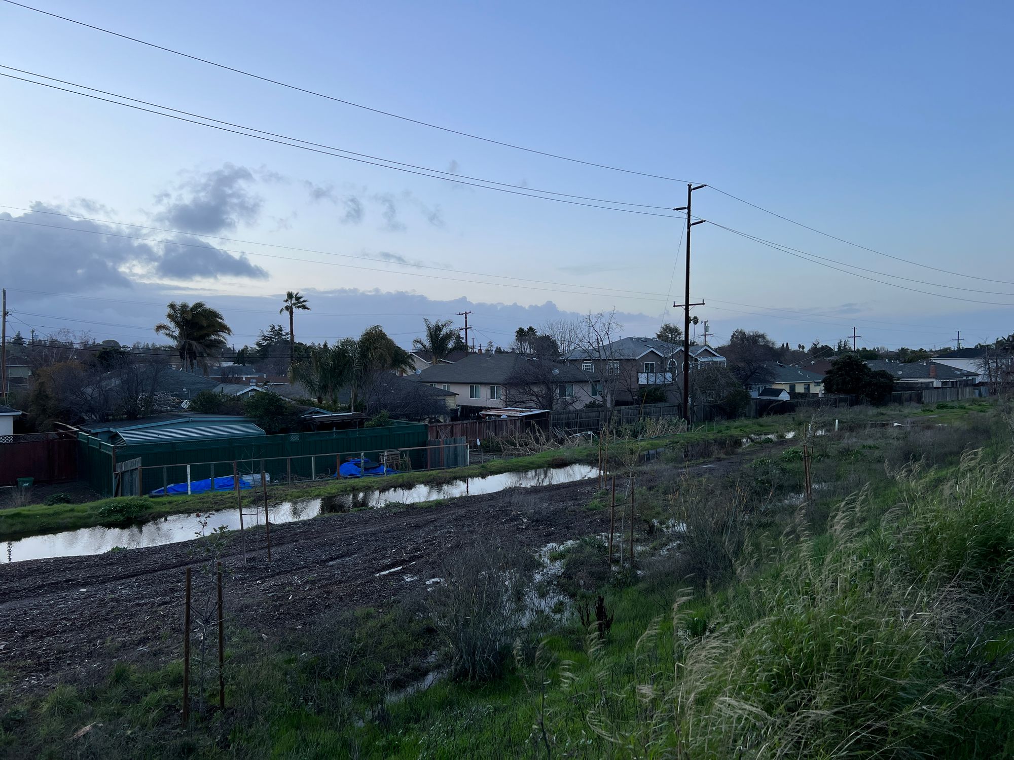
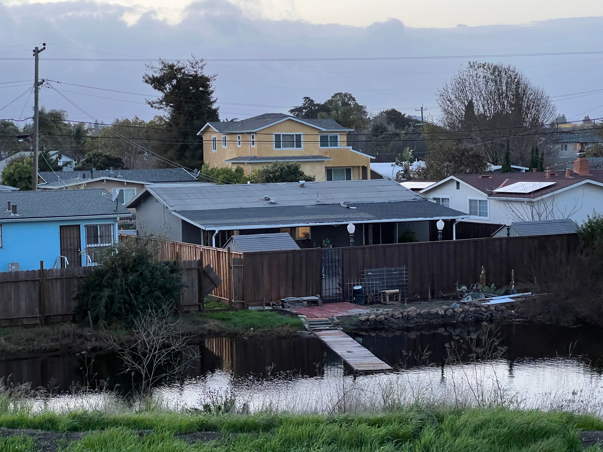
I did not live through the San Francisquito Creek Reach 1 construction, but I have heard from neighbors that it was a major inconvenience to East Palo Alto residents while it was being constructed. I hope that the benefits that it provided these past 2 weeks has made the construction worth it.
The San Francisquito Creek Joint Powers Authority has plans for future reaches as well. Reach 2 "Upstream Project" will add improvements upstream in Palo Alto and Menlo Park. The SAFER Bay Project will continue northwest from Reach 1, wrapping around Laumeister Marsh, Cooley Landing, Ravenswood Open Space Preserve, PG&E Substation, salt ponds, and Meta headquarters.
