Looking at East Palo Alto from a Biker's Perspective
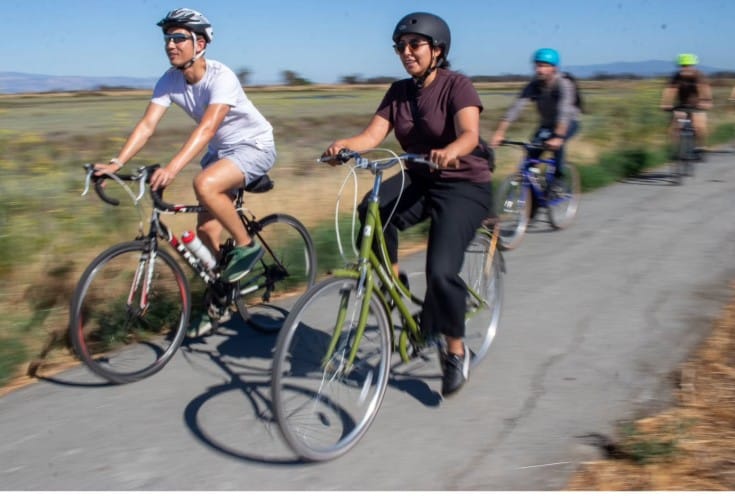
There is a lot to learn as a relatively new City Council member in East Palo Alto. From day one, one of the biggest questions on my mind has been: “How do we get more high-quality bike and pedestrian infrastructure built in East Palo Alto?”
The San Mateo County Transportation Authority (TA) funds millions of dollars in improvements every year—funding everything from roads and sidewalks to bike lanes and pedestrian overcrossings.
Earlier this year, I had a call with Peter Skinner, the Chief Officer of the Transportation Authority. I proposed an idea: Why don't we get out of the office and actually bike around East Palo Alto with TA staff to look at the current, past, and future projects they’ve funded?
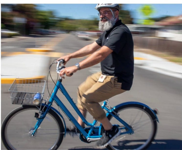
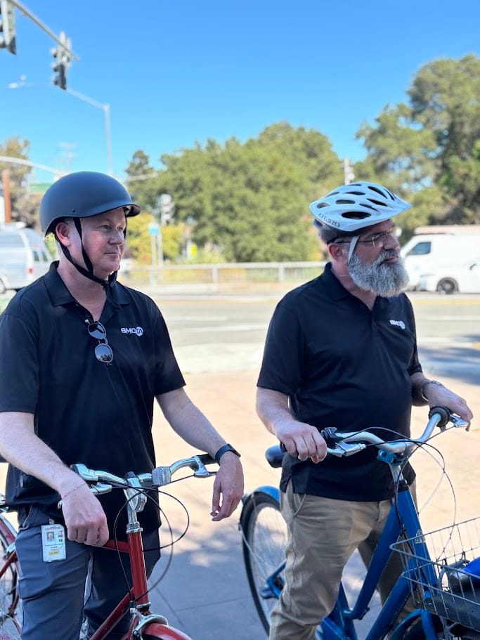
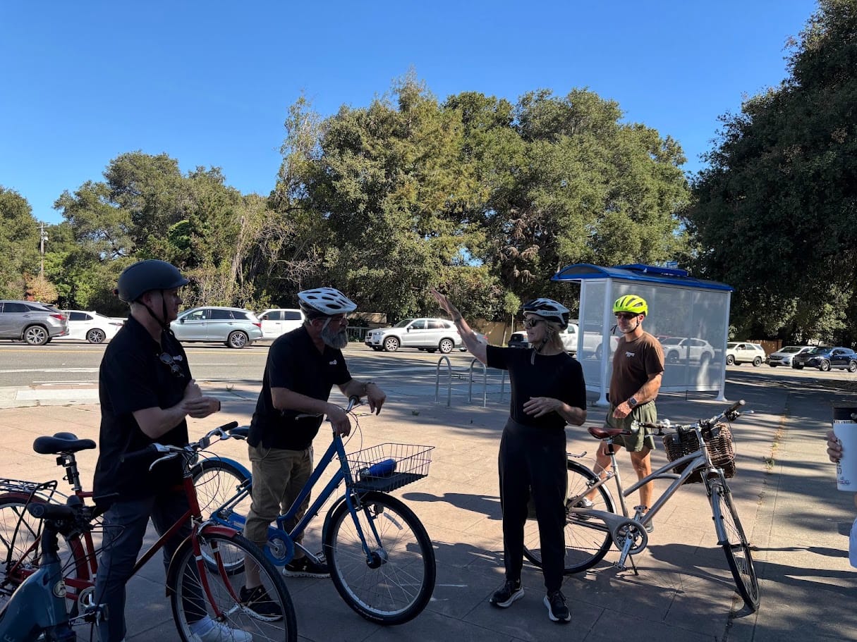
It took some coordination, but on Tuesday, July 14, 2026, we made it happen. Our local bike shop, Live In Peace, provided bikes for those who needed them and hosted the ride. We spent the afternoon on an eye-opening 8-mile ride around town, discussing the good, the bad, and the downright ugly of East Palo Alto's active transportation network.
Here is what we saw, what we discussed, and where we are heading next.
1. The Ravenswood Preserve Gate: A Long-Awaited Win
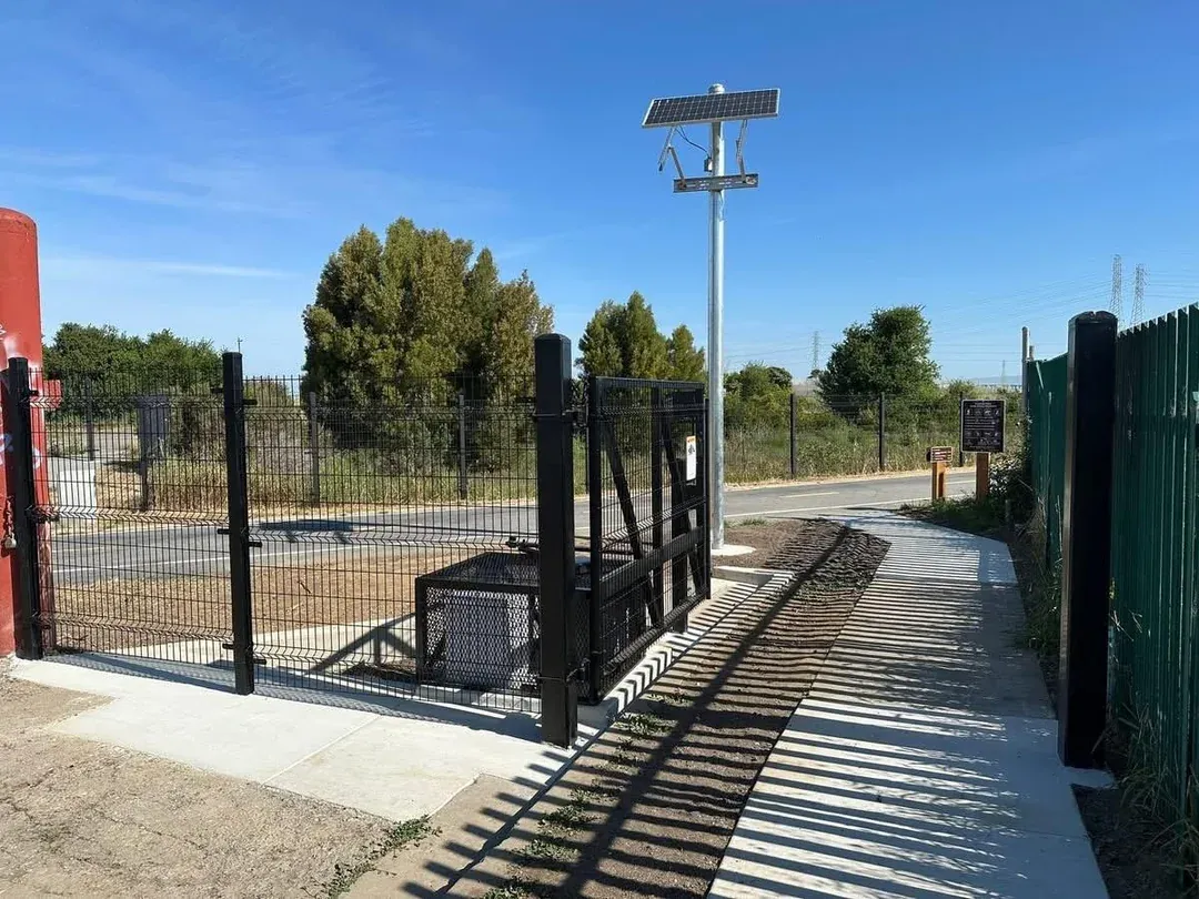
We kicked off our ride by heading to the new pedestrian gate at the Ravenswood Preserve. For those who live nearby, you know the frustration: this path opened in 2020 but remained locked off to the immediate neighborhood, forcing a massive 2-mile detour just to access the preserve.
Thanks to a multi-jurisdictional effort, the new gate finally opened earlier this year. It is an absolute game-changer for the community, turning a frustrating barrier into a seamless, direct connection to nature.
2. The Future Bay Road Levee
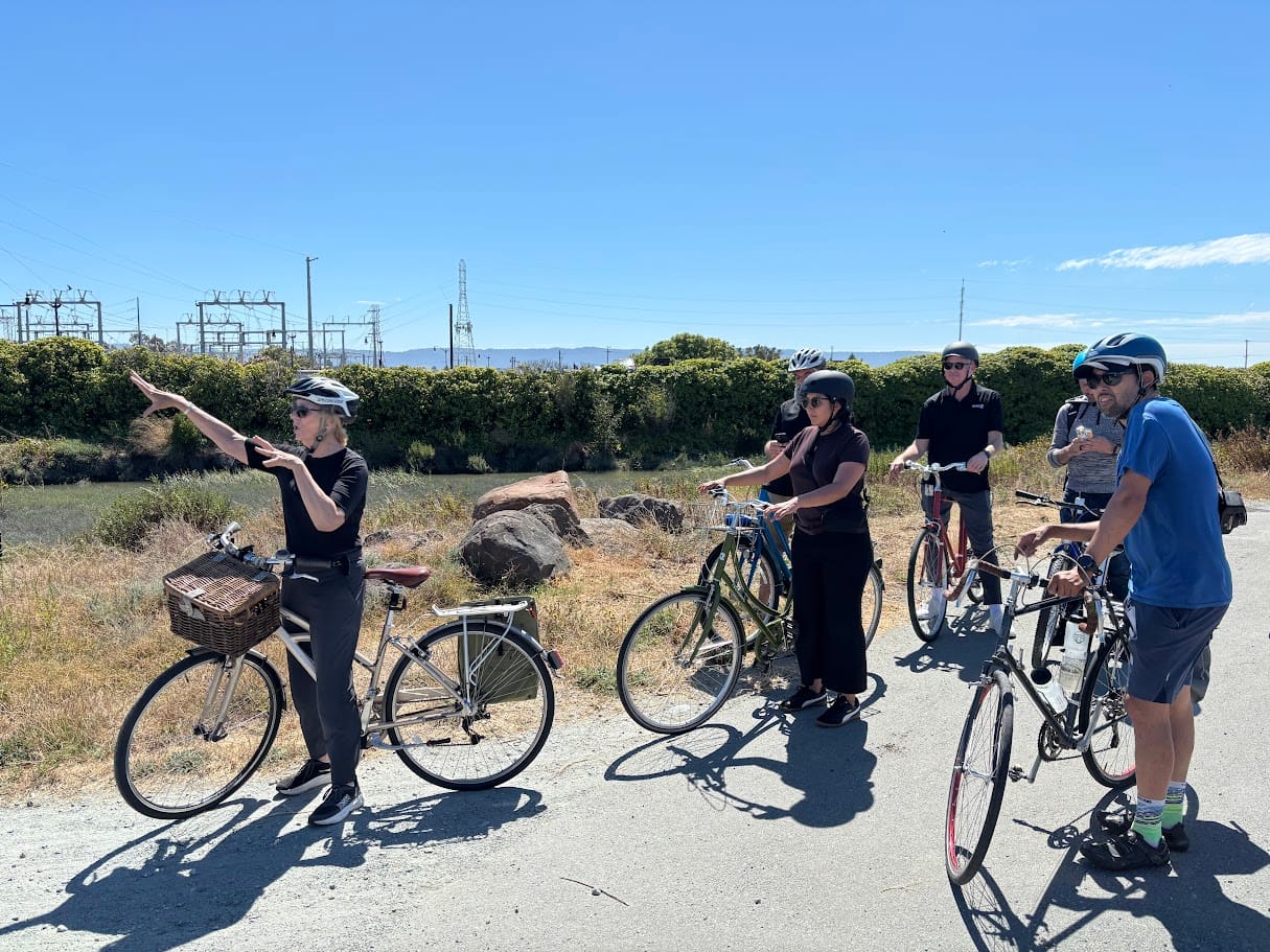
Next, we rode over to Bay Road, where we heard from Tess Byler about the proposed levee project. The future of this corridor is bright: the new levee is slated to feature 18-foot bike lanes in most spots. Compared to the current conditions, this will be a massive upgrade for regional safety and recreation.
3. The Challenge of Runnymede Street
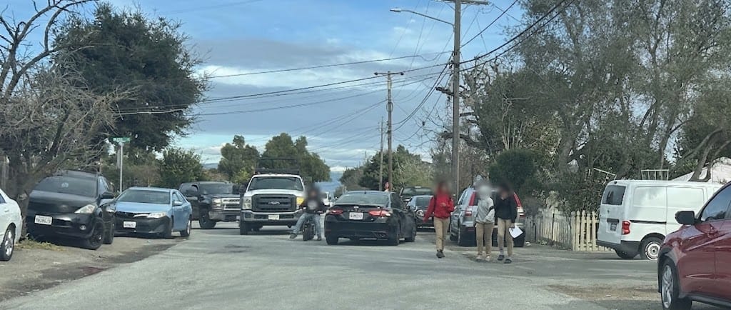
From there, we rode the Bay Trail and stopped on Runnymede Street. Runnymede is a major traffic corridor and home to the Aspire Charter School near the Bay. Unfortunately, it completely lacks sidewalks. When school lets out, it is common to see kids walking directly in the street, sharing tight spaces with moving cars.
"Complete Streets"—which prioritize safe, dedicated pedestrian infrastructure—are a primary focus of TA funding. Runnymede is a prime candidate for a future city project to fix this glaring safety gap.
4. East Bayshore Road: Safety Upgrades in Progress
We continued down Runnymede to University Avenue, turned left toward Palo Alto, and headed north on East Bayshore Road. Here, we looked at the site of upcoming storm drain and sidewalk improvements funded by the TA. East Bayshore has tragically seen pedestrian deaths in the past; these new sidewalks and drainage systems are critical, lifesaving measures.
5. Navigating Below-Ground Challenges on Addison Avenue
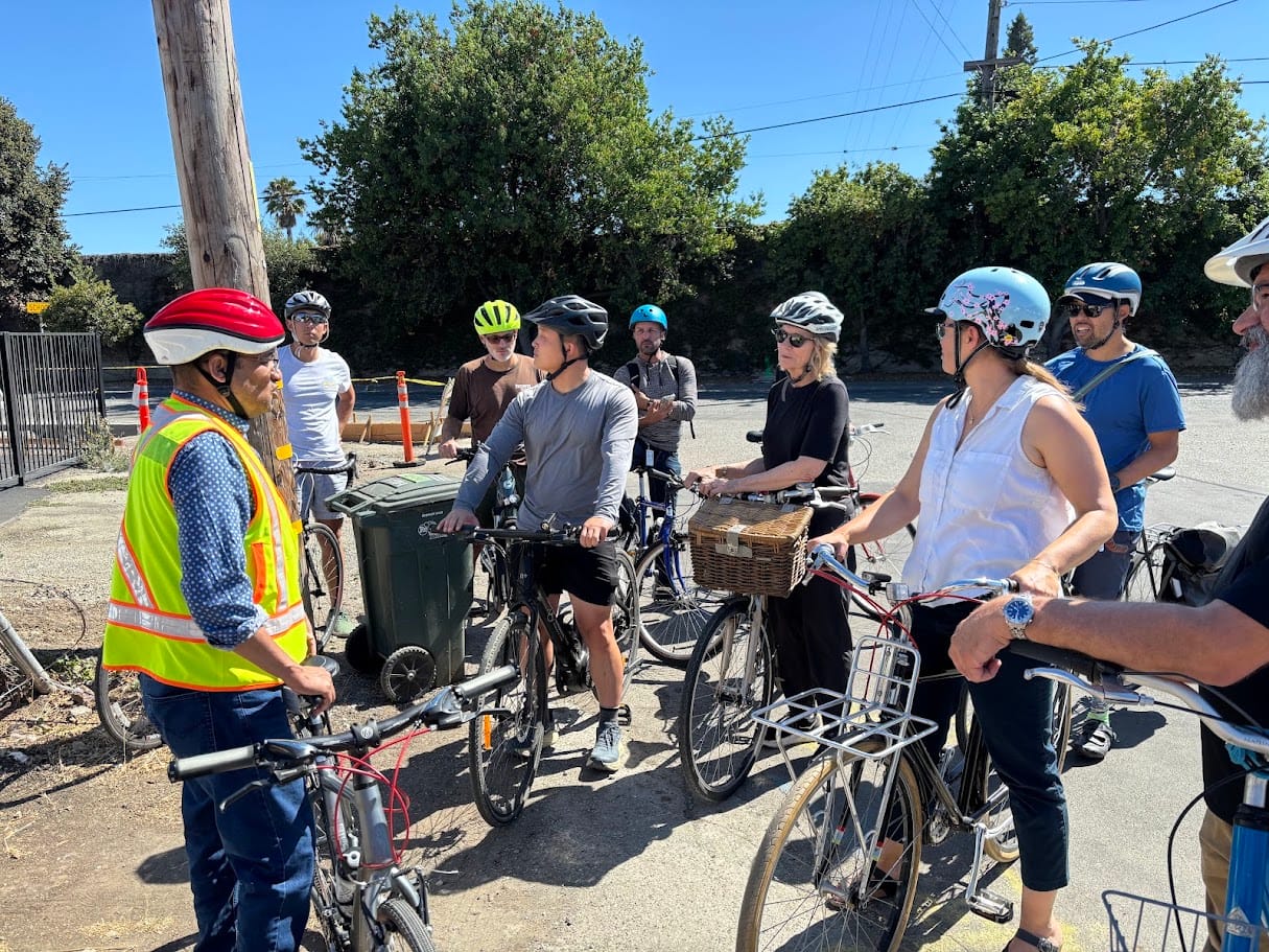
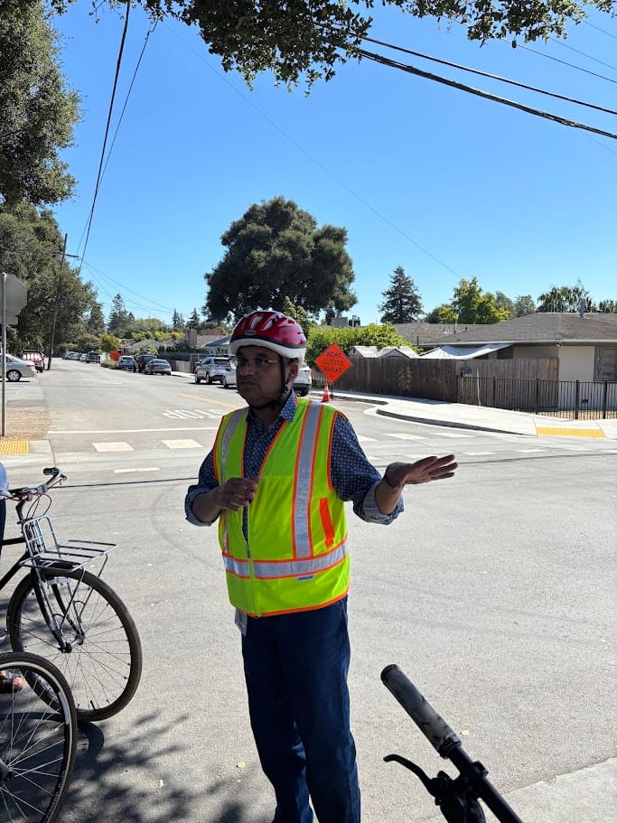
At Addison Avenue, our City Engineer, Anwar, walked us through the impressive improvements already made on the street—as well as the immense challenges hidden underground. Upgrading storm drainage and adding sidewalks on Addison required navigating a tangled web of conflicting utility lines, including East Palo Alto Sanitary District sewer lines and Palo Alto Park Water lines. It was a great reminder of how complex "simple" street upgrades can actually be.
6. The Highway 101 Overcrossing & "Abject Horror"
Next came the crossing over Highway 101 via the pedestrian and bicycle bridge. While the bridge itself is fantastic, the approach on East Bayshore Road is another story. "Abject horror" is perhaps the most accurate description of the block leading up to the bridge, where cyclists and pedestrians are forced to contend with cars rapidly entering and exiting the highway with absolutely no bike lane or sidewalk to protect them. Highlighting gaps like this to the TA is exactly why we did this ride.
7. Creek Protection and Public Trails on Woodland Avenue
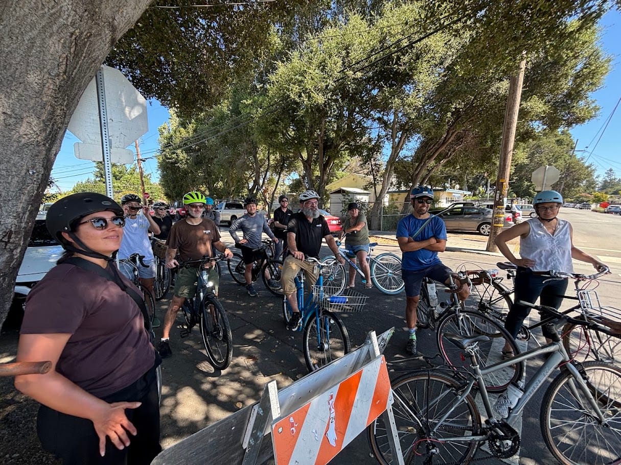
We crossed over to Woodland Avenue, where Tess Byler briefed us on the San Francisquito Creek Joint Powers Authority (SFCJPA) project. The upcoming Reach 2 flood protection project will bring much-needed biking and pedestrian paths. Currently, Woodland Avenue lacks a walking path along the creek on the EPA side, and this project will finally change that.
8. The Clarke Street Bridge & Reclaiming Public Views
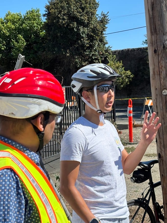
We rode across the Clarke Street Pedestrian Overcrossing, where Chris Kao shared a quick backstory on his successful effort to remove the privacy curtains from the bridge, restoring sightlines and improving the overall safety of the bridge.
9. Wrapping Up on the Bay Trail
We wrapped up our 8-mile tour by taking the Bay Trail back past the pump station. While we admired the excellent, improved bike paths on the completed Reach 1 of the San Francisquito Creek JPA, we also noted a clear areas for improvement: the distinct lack of neighborhood access points to the Bay Trail at Garden and Beech Streets.
The Road Ahead
This ride was an invaluable opportunity to show the San Mateo County Transportation Authority exactly where their dollars are making a difference—and where we desperately need more support.
Building a truly connected, safe, and accessible East Palo Alto requires getting out of the council chambers and onto the pavement. I want to extend a huge thank you to Peter Skinner, the TA staff, our city staff, Andrew Yee and the Live in Peace Bike Shop and the community advocates who joined us. We have a lot of work left to do, but we are moving in the right direction.
Have thoughts on where we need bike and pedestrian improvements next? Let me know in the comments below!